To view all of the real-time water gauges on the Watauga River, click here.
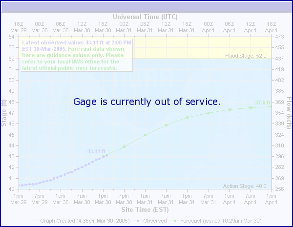
Editor’s Note: According to a N.C. Emergency Management official, this gauge is currently offline. Gauge hardware was removed because of construction work on the bridge where the gauge is located. Plans are for the hardware to be upgraded and the gauge put back online in the future.
Kayakers use the above real-time N.C. Emergency Management gauge for the expert-only Red Roof run along N.C. 105 as well as a painted gauge on the bridge.
The NCEM gauge is near the put-in off of Shulls Mill Road or CR 1557.
According BoatingBeta.com, a great resources for area boaters:
- Minimum flow to run is 4.5
- Medium flow is 5.5 to 6.5
- Too high is 8
As for the visual gauge, Carolina Whitewater: A Paddler’s Guide to the Western Carolinas notes that the “gauge is on the river-right concrete abutment of the CR 1557 bridge. The minimum level should be 2 inches below zero.”
Downstream of the gauge used to be a recreational hot spot with fishing, kayaking and swimming taking place near the old Hound Ears Dam.
Access to this area is pretty much closed. Parking along the shoulder of Shull’s Mill Road is prevented because of giant boulders and towing occurs frequently in the empty lot above the dam.
Kayaking still happens when the water is high enough and kayakers can figure out transportation logistics. Swimming hole fun is no longer allowed at the old Hound Ears Dam and upstream at “Boone Beach.”
The N.C. Wildlife Resources Commission used to stock this area with fish as part of its Delayed Harvest Trout program for the winter and spring – but stopped because of access concerns.
It does have wild trout, however, and a small pull-off nearby is used by folks fishing. If the river is running high enough for folks to kayak, it’s unlikely paddlers would see anybody fishing.
As for wading, if water flow has increased to a point when wading is probably unsafe, the river probably has that “brown-water” effect from flood-stage waters and there likely wouldn’t be good fishing anyways.
N.C. Wildlife Resource Commission Mountain Fisheries Biologist Kin Hodges calls this effect “turbidity.”
He recommends people planning trips to watch the online flow gauges to “avoid going right after any pronounced spikes in flow and focus on going when flows are as close to median flows as possible.”
To view all of the real-time water gauges on the Watauga River, click here.