Access and parking is a big frustration regarding the Watauga River in the Boone NC area.
There are plenty of informal pull-offs along the Watauga River. Whether because of geography or historical use, these spots have become land for public use by default over the years, such as the pull-offs to Trash Can Falls or Snake Pit.
On either side of the highway, the land is undevelopable. And there just happens to be a decent size pull-off with a scenic waterfall and swimming hole right nearby.
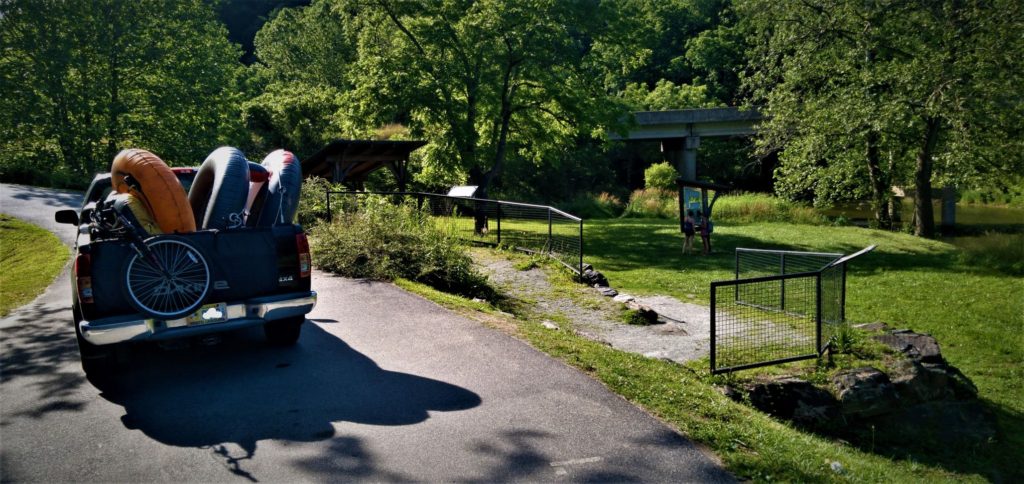
But this public-use status can change in a flash – consider the loss of parking near the old Hound Ears Dam.
For decades, this was a popular spot for its great fishing holes, challenging whitewater kayak run during high water flow and swimming area known as “Boone Beach” among college kids.
Now boulders block the shoulder of Shull’s Mill Road and cars are towed if briefly parked in the big empty lot off of N.C. 105 above the dam.
As for accessing the Watauga River around the Boone area, if you don’t want to deal with the possibility of getting your car towed or parking on someone else’s land, here is a list of all of the official public river access areas along the Watauga River in North Carolina.
These lands are either public property or set up in a nonprofit for the use by the public.
Where to Access the Watauga River in NC?
- Lower Gorge Access near Bethel
- Upper Watauga Gorge Park in Sugar Grove
- Valle Crucis Community Park
- Grandfather Mountain State Park
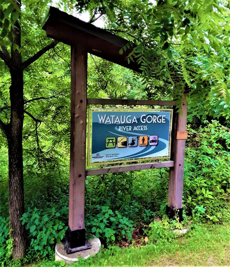
New Lower Gorge Access or ‘Guy Ford River Spot’
The Lower Gorge River Access at Guy Ford Road near Bethel is the put-in to the classic Watauga Gorge.
Though this area has been accessed for decades, it’s the newest official public access along the Watauga River in the Boone NC area.
Nearly inaccessible to everyone but kayakers, the Watauga Gorge has been described as stunning, pristine, spectacular and rugged. The 5-mile whitewater run to the NC-TN state line features world-class whitewater and Class V rapids, only navigable by expert paddlers.
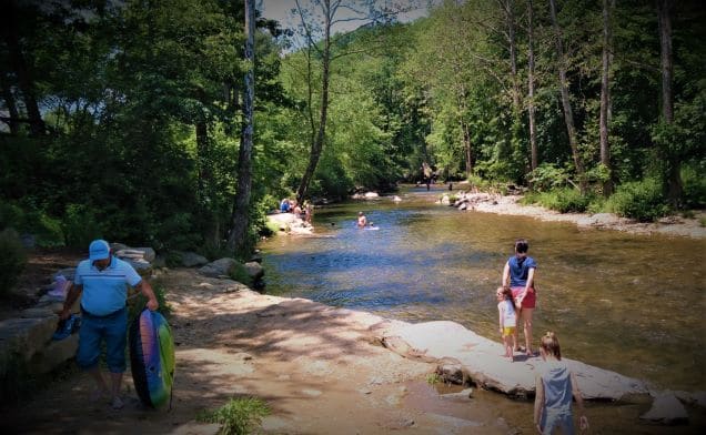
While you won’t be able to enjoy the scenery and exhilarating rapids miles downstream outside of a kayak, you can still swim and fish the 2.3-acre river property at Guy Ford Road.
Known today as the ‘Guy Ford River Spot’ on Instagram by co-eds, this area has been a popular swimming hole among college kids for years. It’s also been a local fishing hole for decades.
The area is open to swimming and is also part of the Public Fishing Access Program managed by the N.C. Wildlife Resources Commission. A trout stocking program is unlikely right now, but it is a good access point for wade fisherman looking for smallmouth bass.
The Lower Gorge Access or Guy Ford River Spot access is made possible by a few different groups.
In 2016, the Blue Ridge Conservancy purchased the 2.3-acre property with the financial support of the Watauga County Tourism Development Authority (TDA), Tennessee Valley Authority (TVA) and 140 private donors, mostly paddlers with American Whitewater.
Funding for the construction project came from the local TDA, State of N.C. and the TVA. This construction project is on-schedule to be complete this summer – perhaps as early as the end of July 2020.
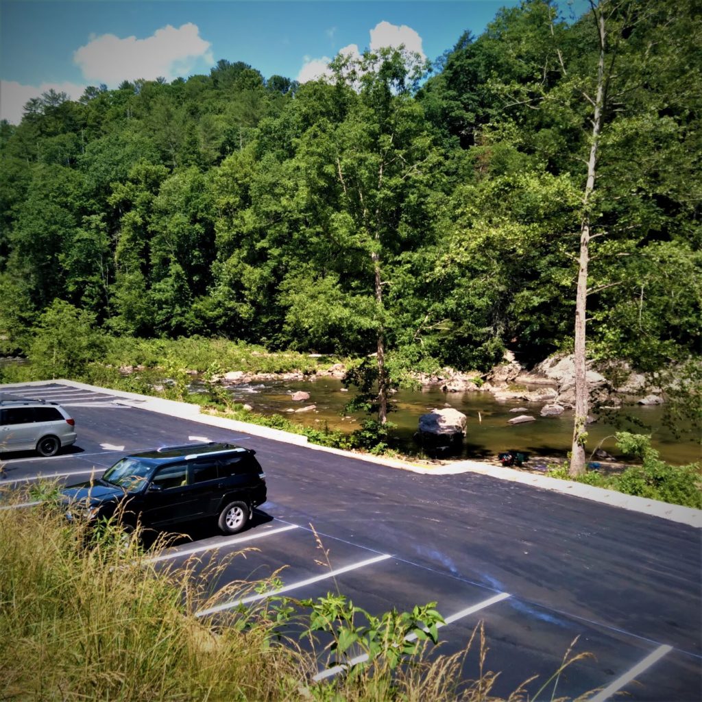
The project includes a 27-lot parking area with a concrete ramp to a beachy area.
Click to read more about this project and the Guy Ford River Access.
Upper Gorge Watauga Park River Access in Sugar Grove NC
The Upper Gorge Watauga Park is located 15 minutes from Boone.
This Watauga River access in Sugar Grove is a great spot for fishing, put-in for kayaking, take-out for tubing and general water fun area for families.
Built in 2011 by Watauga County Tourism Development Authority, the Upper Gorge Watauga Park is located at the intersection of U.S. 321 and Watauga River Road. It’s just upstream of Trash Can Falls, which flows into the Watauga River immediately after the falls, and Snake Pit, another popular swimming hole near Boone NC.
Upper Gorge Watauga Park is a put-in for kayaker’s and canoers boating Section 4 of the Watauga River to Guy Ford’s Road The next run, Section 5, is the put-in for the classic, experts-only Watauga Gorge run.
While folks can tube the Watauga River for a 10-mile stretch between Valle Crucis and Sugar Grove, dangerous rapids emerge near Snake Pit that only experienced boaters should attempt to navigate with the proper craft and safety equipment.
Consider what the American Whitewater, a river conservation non-profit funded by paddlers, says about the 3.75-mile kayaking run from U.S. 321 Bridge to Guy Ford Road, which includes the Snake Pit rapids.
“Be aware of a ‘mandatory’ portage 1/4 mile into the run called the Clog. After the first set of shoals and rapids, where the Laurel Fork joins the river from the left, the river pools up above the Clog. This is a difficult class V rapid that terminates in a narrow slot that feeds a huge undercut rock that is stuffed with debris such as plywood, logs, etc. Portage the whole thing on the right.”
Upper Watauga Gorge Park is also the take-out for great tubing runs through Sugar Grove. See this article I wrote about tubing in Sugar Grove for all the details you need to know – including one major hazard to avoid.
Along with the Valle Crucis Park stretch of the Watauga River, the Upper Watauga Gorge Park waters downstream of Hubert Thomas Road are the only other delayed-harvest waters along the Watauga River in NC. This area has canoe bank access and a “flybrary,” where anglers share flys.
The river is stocked with rainbow, brown and brook trout. According to N.C. Wildlife Resources Commission, the river here features wild rock bass, redbreast sunfish and smallmouth bass.
In addition to the kayak put-in, swimming holes and fishing, the parking area is also used by people running, bicycling and horseback riding on old Watauga River Road, which is among the most scenic gravel roads around.
This park also as a small covered pavilion for one picnic table and kiosk with a map of the Watauga River.
Map to Upper Gorge Watauga Park
Valle Crucis Community Park
Valle Crucis Park nearly offers it all – nature with amenities.
It has a playground for children, open fields for sports, a basketball court, a paved track for exercising, covered pavilions for picnics and gatherings, wildlife viewing areas and a stage for live music on Fridays in the summer. It has restrooms and a water fountain, too.
And a river runs through it.
The Watauga River here offers fishing, tubing, swimming, and general water play.
This section of river is a delayed-harvest stream with stocked rainbow, brown and brook trout. A NC fishing license is required, and those can be purchased less than 0.25 miles away from the park at the original Mast General Store. Fishing is also allowed in Dutch Creek, which borders the park, too.
As for tubing, Valle Crucis features at least four overlapping tubing runs depending on how long you want to tube. This previous article I wrote about tubing in Valle Crucis has all the details, but the skinny is that you can use Valle Crucis Park as a put-in, take out or pass through.
Unlike all of the other public access areas on the Watauga River in NC, Valle Crucis Park has plenty of parking. And if their main parking area does fill up to capacity, they have an overflow parking area.
Click here to read more about Valle Crucis Park, which almost didn’t happen.
For more information and to support the park, click here or call 828.963.9239.
Valle Crucis Park is located at 2892 Broadstone Road in Valle Crucis.
See map below for directions:
Grandfather Mountain State Park
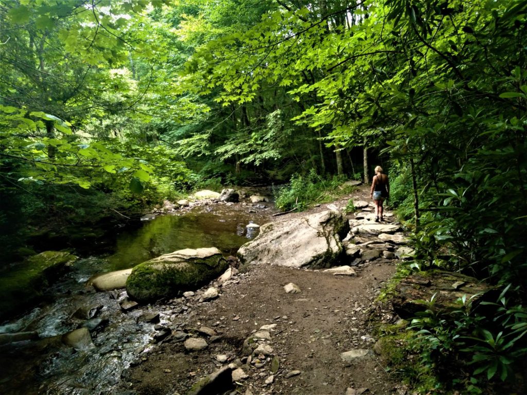
Near the headwaters, the Watauga River flows through Grandfather Mountain State Park.
Highway 105 and the Profile Trail, the most popular trail on Grandfather Mountain, parallel the river at the same time for a stretch.
Grandfather Mountain State Park Ranger Luke Appling estimates that the Watauga River borders park property for about 0.8 miles, while the Profile Trail and the Watauga River run alongside each other for 100 yards or so.
The trail begins at the parking area. The first half-mile or so hike to the river features a wide trail, rolling hills with some wooden or rock steps and a bridge that kids seem to love to run across – at least mine did.
The character of the Watauga River here is unique for its forest canopy. It’s a great primitive location for children to explore the river. Creek hopping, shallow pools, tiny beach areas and mini waterfalls all exist for kids to cool off and enjoy a summer day hiking on Grandfather.
Adventurous kids can definitely complete the entire Profile Trail, Appling noted.
The trail starts to climb once the trail veers away from the river. But it’s really noticeable about 2 miles in near Foscoe View. At the 3.3 mile marker at Shanty Spring, the trail becomes a “strenuous pathway of tumble down rock” that is not suitable for pets, according to GMSP pamphlets.
As for fishing on the Watauga River at Grandfather Mountain State Park, this area of the river is not designated. While the N.C. Wildlife Resource Commission doesn’t stock the river, it does have wild trout.
“I’ve seen some trout that were 14 to 15 inches here but more and more people are fishing it,” Appling said. “It’s usually just little bitty things I see.”
On busy weekends, arrive by 10 a.m. for guaranteed parking. By noon, the 100-vehicle parking lot is usually full.
Click here for a story I wrote about the headwaters of the Watauga River, the Profile Trail and Grandfather Mountain State Park.
Click here for the park’s website and call the park’s office at 828-963-9522.
To access the Watauga River in NC at Grandfather Mountain State Park, the Profile Trail Parking Area is located in Tynecastle at the top of the hill along N.C. 105.
See the map below for the exact location: